
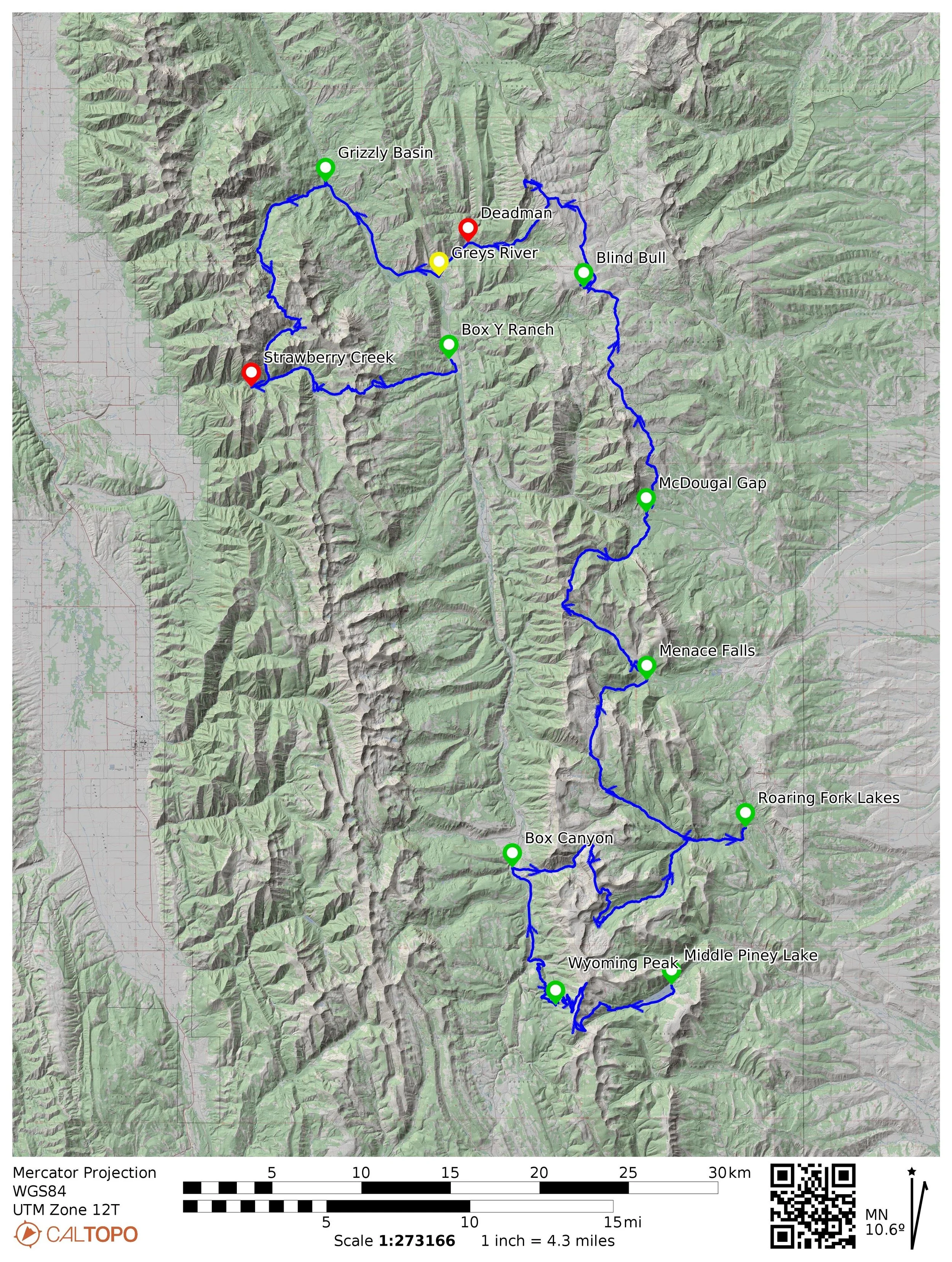
Aid station color-coding
Green aid stations are crew accessible
Yellow aid stations are crew only, meaning no volunteers
Red aid stations are closed to crew

Green aid stations are crew accessible
Yellow aid stations are crew only, meaning no volunteers
Red aid stations are closed to crew