
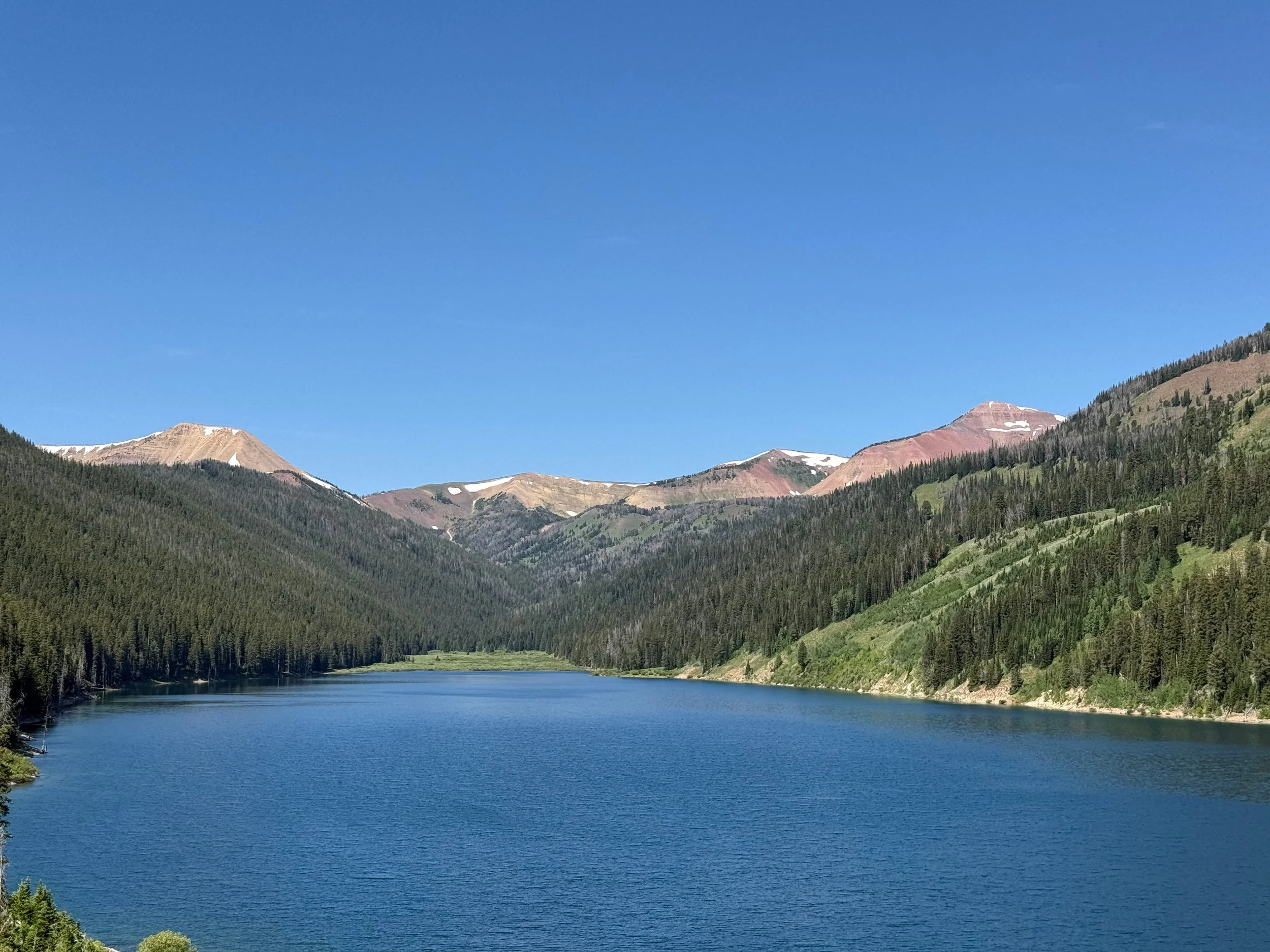
Start (Middle Piney Lake)
Directions (from Big Piney)
From the Town of Big Piney, head west on Wyoming State Highway 350 (WY 350)
Continue on WY 350 for approximately 10 miles (at this point WY 350 transitions into County Road 111/ Middle Piney Road). Continue on County Road 111/Middle Piney Road for an additional 10 miles where you will then enter the Bridger-Teton National Forest (the road name changes again to Forest Service Road (FS) 10046)
Follow FS 10046 for approximately 2 miles. Veer left at the fork onto FS 10024 heading towards Middle Piney Lake
Follow FS 10024 for approximately 0.75 miles to a second fork and veer left again to stay on FS 10024
Follow FS 10024 for approximately 4 miles to access Middle Piney Lake Campground
Estimated drive time (from Big Piney)
60-90 minutes
Aid Station 1: Wyoming Peak
Directions (from Start)
Head east (downhill) on Forest Road 10024 for approximately 4.0 miles
Make soft right onto Forest Road 10046 and drive for approximately 2.7 miles. After a large dirt parking lot with a Forest Service bathroom, you’ll make a hard right. You are still on Forest Road 10046
Stay on Forest Road 10046 for approximately 10.0 miles
Turn right on Forest Road 10128 and go straight for approximately 7.8 miles
Turn right on Forest Road 138D (Greys River/LaBarge Road) and go straight (north) for approximately 11.4 miles
Turn right on Forest Road 126, which involves crossing a bridge right away, and go straight for approximately 3.5 miles
Estimated drive time (from Start)
90-120 minutes
Aid Station 2: Box Canyon
Directions (from Alpine)
Drive approximately 47 miles south on Forest Service Road 10138
The aid station location will be on your left. You'll see a small brown sign that says, "Box Canyon Cr"
Estimated drive time (from Alpine)
120-150 minutes
Aid Station 3: Roaring Fork Lakes
Directions (from Start)
Head west on Forest Road 10024 east for approximately 3.9 miles
Head north (left) on Forest Road 10046 for 5.9 miles
Turn left on Forest Road 10370 for 0.4 miles. Take your time because it is easy to miss this turn
Estimated drive time (from Start)
30-45 minutes
Aid Station 4: Menace Falls
Directions (from Start)
Head west of Forest Road 10024 east for approximately 3.9 miles
Head north (left) on Forest Road 10046 for 12.9 miles
Take a slight left (west) onto Forest Road 10050 for 4.7 miles. The aid station will be at the end of the road
Estimated drive time (from Start)
60-75 minutes
Aid Station 8: Deadman
Directions (from Alpine)
Drive south on Greys River Road for approximately 25 miles
Turn left on Deadman Creek Road (FS 10005) and go west (uphill) for 1.6 miles
Estimated drive time (from Alpine)
60-75 minutes
Aid Station 10: Grizzly Basin
Directions (from Alpine)
The aid station is at the White Creek trailhead:
Drive south on Greys River Road for approximately 19 miles
Turn right (west) on Forest Road 10003
The aid station will be visible in front of you, just before a bridge over Greys River
Estimated drive time (from Alpine)
45-60 minutes
Finish (Box Y Ranch)
Directions (from Alpine)
Drive south on Greys River Road (FS 10138) for approximately 28 miles
You’ll see a sign for the ranch and turn right onto Meadow Creek Road (10140). You’ll cross over Greys River Road to enter the property.
Estimated drive time (from Alpine)
60-90 minutes