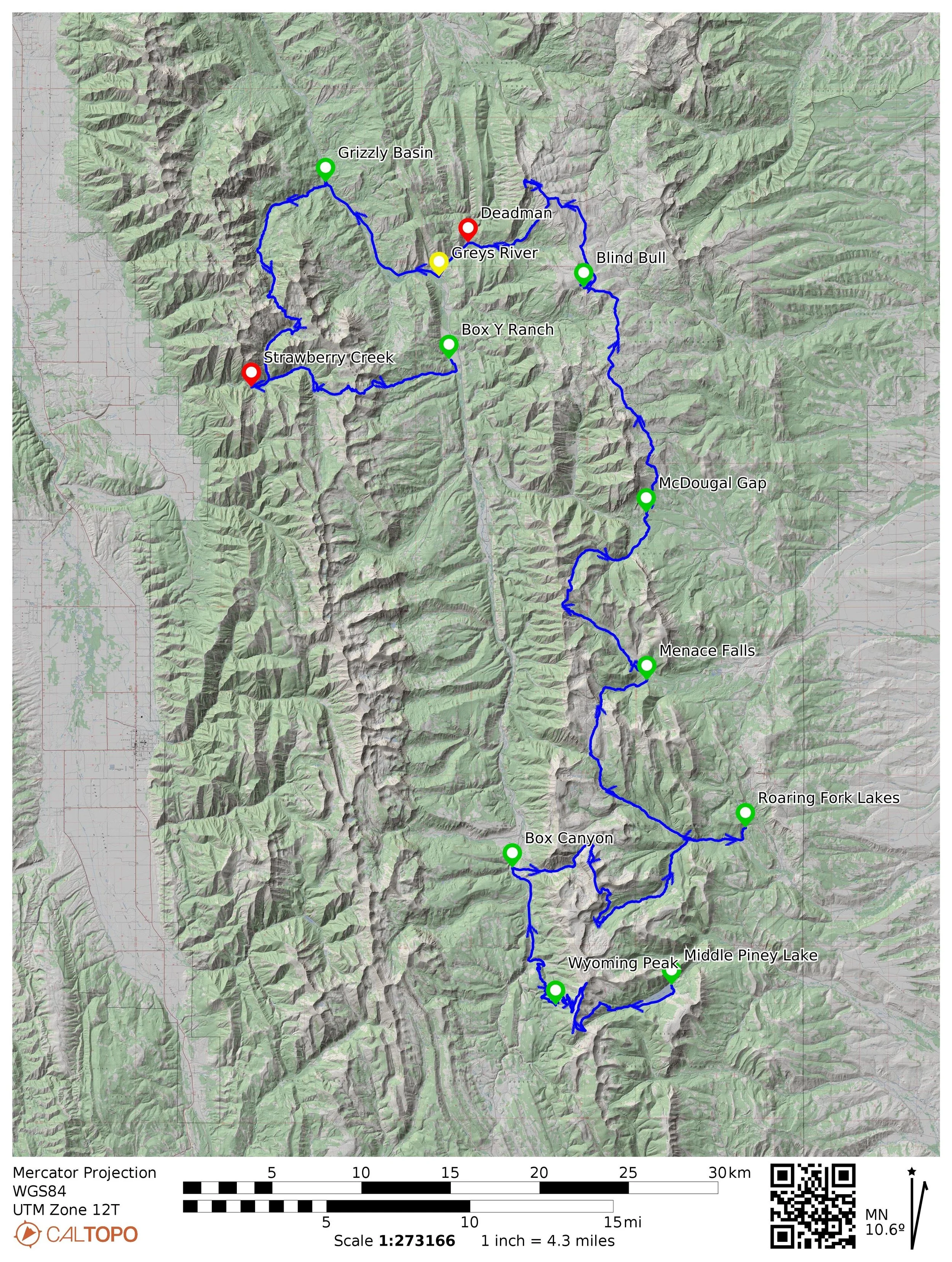
Course Map
Elevation Profile
Aid Stations, Cutoffs, and Dropping
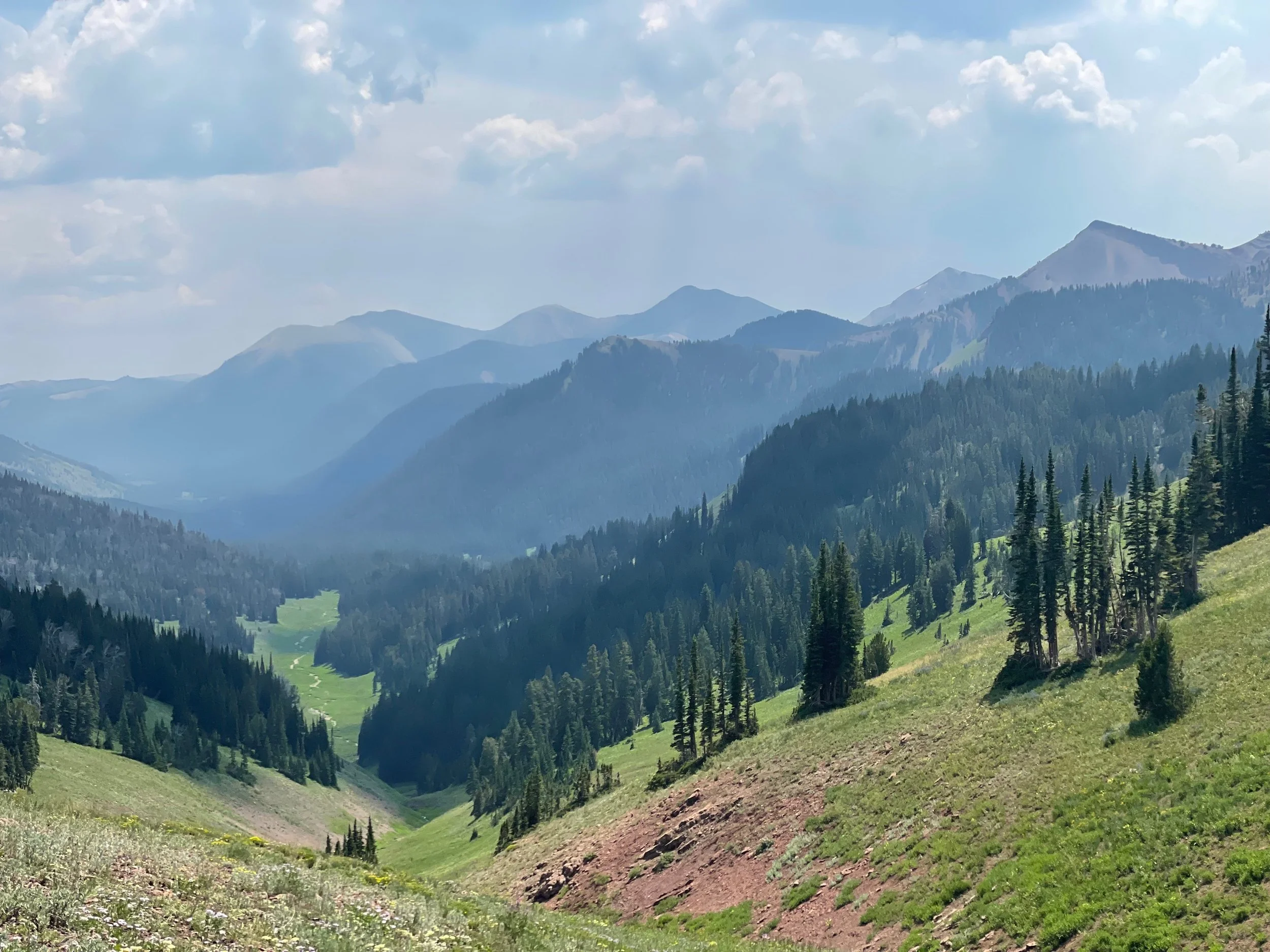
Course Description
Course Conditions
Course Flyover
Aid Station Arrival Times